

News
Does RTK Require a Base Station?
Real-Time Kinematic (RTK) positioning technology is widely used in high-precision applications such as surveying, agriculture, autonomous driving, and drone navigation.
How to Survey Land Yourself with GPS?
Surveying land no longer requires expensive professional services or complex equipment.
Does GNSS Need an Internet Connection?
In the realm of geospatial technology, the question of whether GNSS (Global Navigation Satellite System) requires an internet connection is pivotal, especially when considering RTK (Real-Time Kinematic) systems.
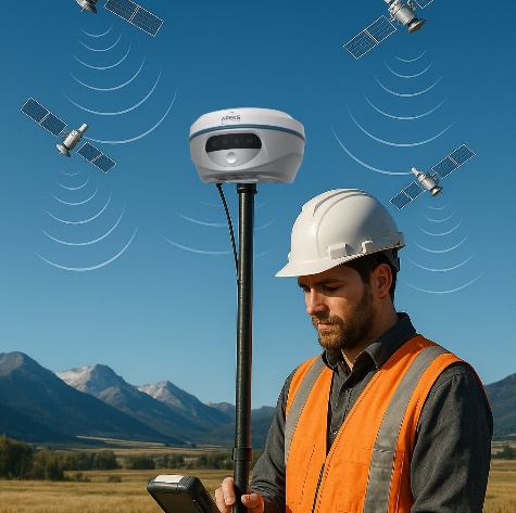
What is Rover in GNSS?
In the world of GNSS (Global Navigation Satellite System), the term Rover refers to a mobile receiver used to collect positioning data in the field.
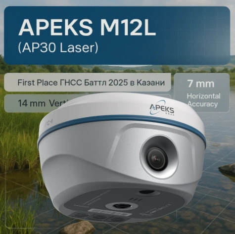
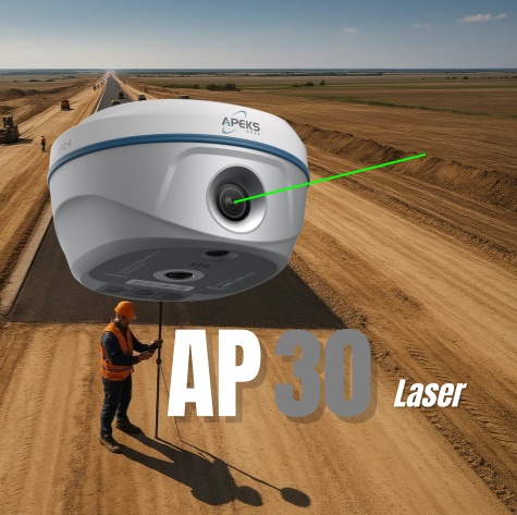
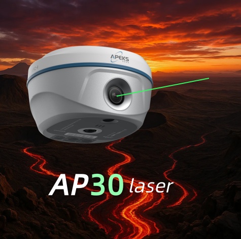
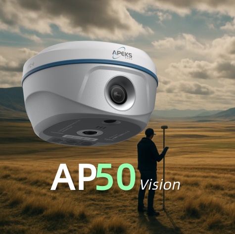
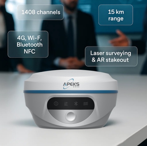
High-Accuracy GNSS Receiver Tested Independently: APEKS M12L (AP30 Laser)

New Carbon Fiber Surveying Poles – Lighter, Stronger, and Built for the Field
To meet the growing demand for lightweight yet highly stablesurveying equipment, we are proud to introduce two new all-carbon fiber surveying poles: 3.6 m and 4.7 m models.
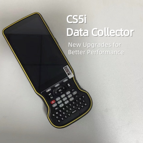
CS5i Data Collector – New Upgrades for Better Performance
The CS5i Data Collector has just received a thoughtful upgrade, designed with real-world fieldwork in mind. Every change aims to make your job easier, faster, and more comfortable.

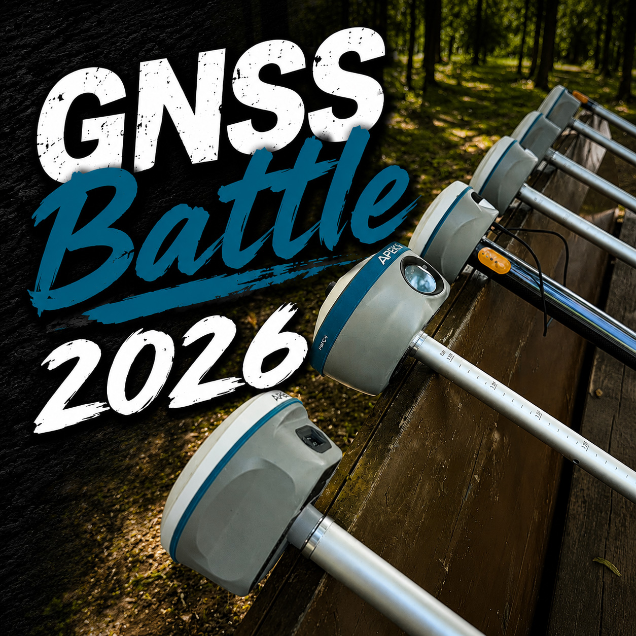
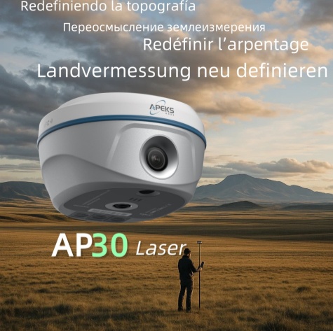
APEKS AP30 Laser (M12L) Wins in Laser GNSS Category at ГНСС Баттл 2025 в Казани
We are proud to announce that the APEKS AP30laser has won first place in the Russian GNSS BATTLE 2025, город Казань.

How to choose a GNSS device? The ultimate guide to precise positioning
With the increasing popularity of global navigation satellite system (GNSS) technology today, high-precision positioning has become a key requirement in surveying and mapping, agriculture, drones, autonomous driving, disaster monitoring, e

Core parameters: How to evaluate the RTK performance?
It is recommended to purchase GNSS equipment from the original factory or the local distributor, otherwise the warranty and after-sales service can not be well guaranteed. Priority for "free software upgrade" vendors.

What are the components of GNSS ?
Whether we are surveyors or ordinary people, we all use GNSS (Global Navigation Satellite System) such as GPS and BDS in our daily work or life. Do you have any objections to how GNSS works?